MODERN SURVEYING TECHNOLOGY

03 | MODERN SURVEYING TECHNOLOGY

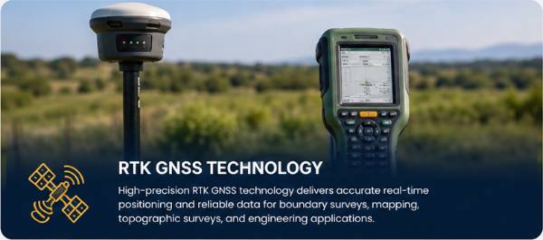
Our RTK GNSS equipment supports precise positioning and efficient data collection for property, engineering, development, and construction surveys.

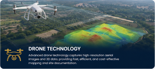
Our drone technology provides efficient aerial data colection for suitable projects, including:

  • Topographic mapping
  • Large-property documentation
  • Terrain assessment
  • Aerial mapping and imagery
  • Site documentation
  • Development monitoring
  • Construction progress documentation

Drone operations are undertaken subject to applicable aviation, privacy, safety, and regulatory requirements.